
 Internal Mold of a Turretellid Gastropod: Fossil
 L Plate for Mounting Specimens on Translational Stage
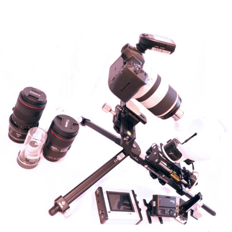 Macropod PRO 3D R5 (Excludes 7.5-100x Objectives)
 Motion Control Service and Repair
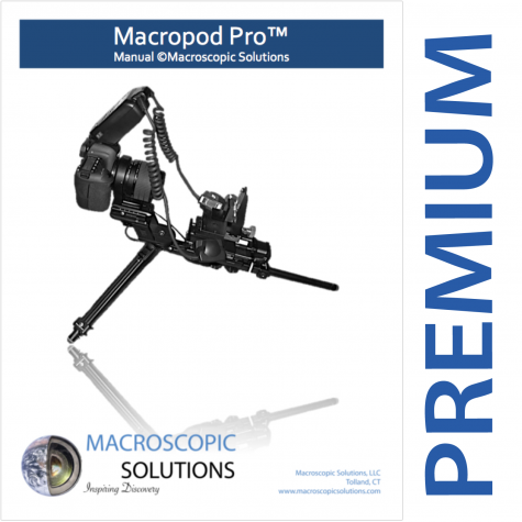 Premium Training & Support
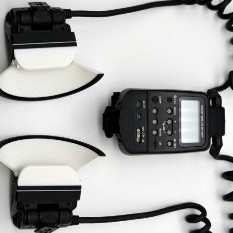 Turtledove Diffusers: Canon MT-24 EX Twin Lite Flash
 5mm Scale, 027 (calibrated to 0.1mm, 5mm range)
 Mitutoyo to 77mm Adapter
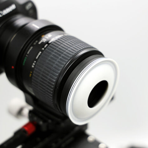
Description
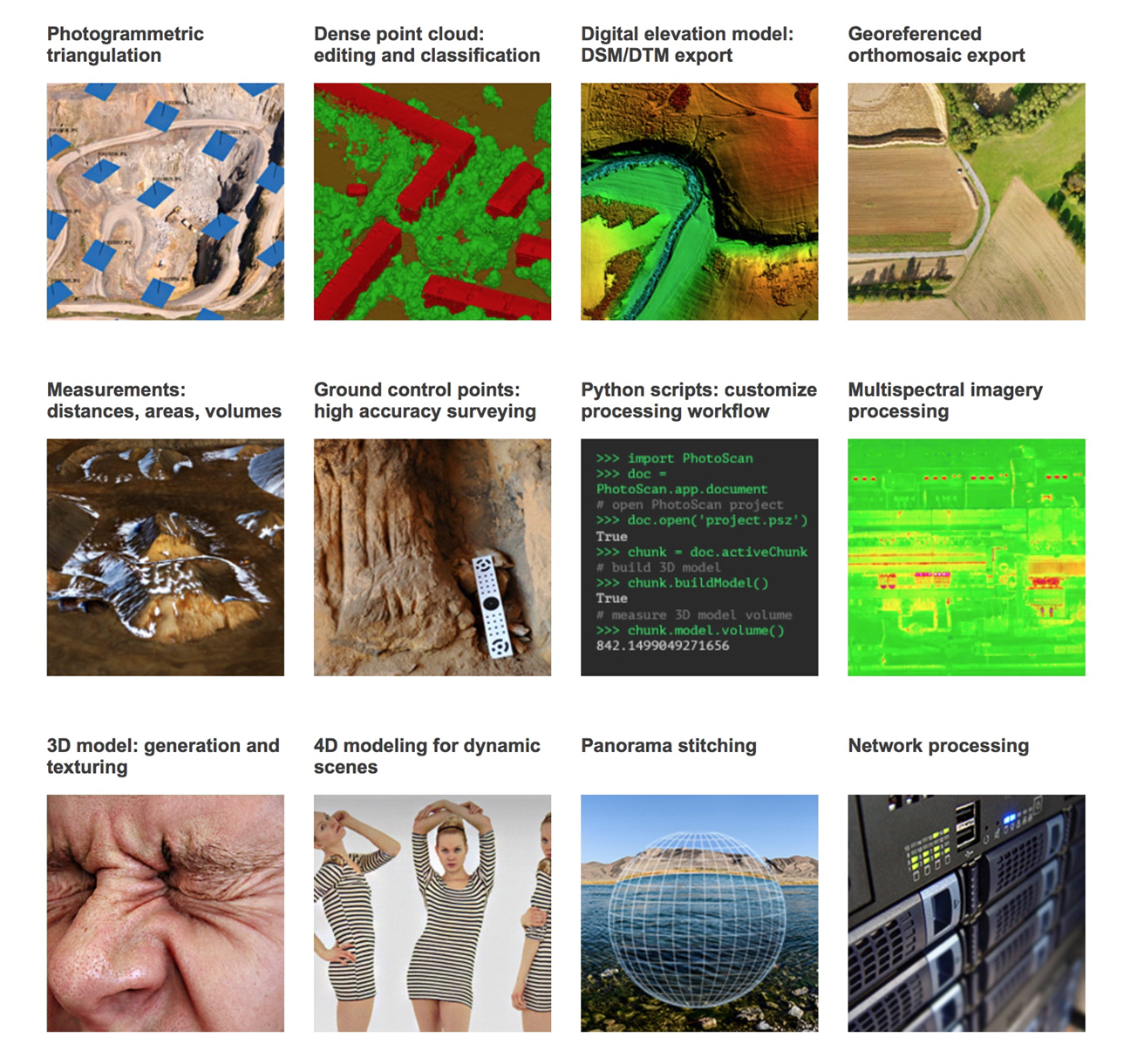
Agisoft Metashape
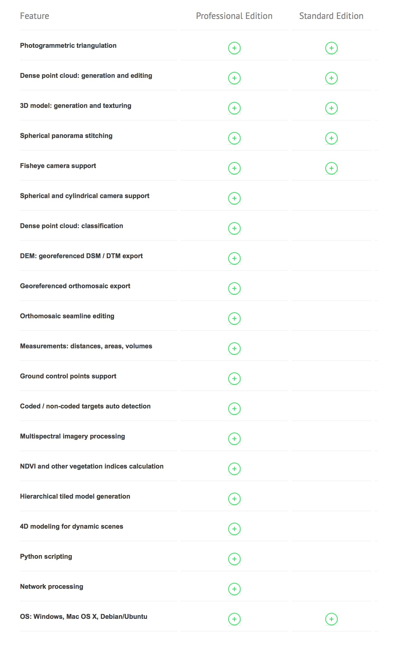
Agisoft Metashape is a professional-grade photogrammetry software trusted by scientists, archaeologists, surveyors, and 3D artists around the world. It transforms 2D images into highly accurate 3D models and georeferenced datasets, making it essential for workflows in geospatial analysis, cultural heritage preservation, 3D scanning, mapping, and more.
From drone-based terrain modeling to microscopic 3D reconstructions, Metashape delivers unmatched flexibility, scalability, and photorealistic output, all in a user-friendly package. Whether you’re purchasing a Professional or Standard license, you gain access to industry-leading tools for dense point cloud generation, mesh construction, texture mapping, orthophoto creation, and more.
Ideal for academic institutions, commercial surveyors, and visual effects professionals alike, Agisoft Metashape is the software of choice for turning images into precise, textured, and measurable 3D data.

Capture
Capture images from different view points of any sample, field site, landscape, etc.

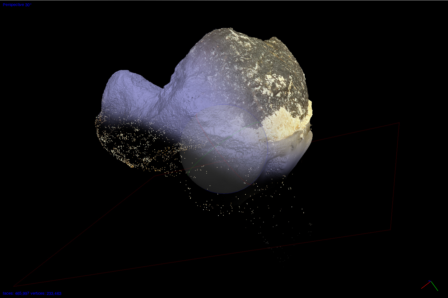
Build
Generate 3D models, point clouds, DSMs from digital photos of any sample and field location.
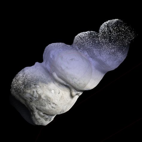
Field Location of Tooth:

Sample Collected from Field Location:
Measure
Collect spatial data: distances, areas, volumes

Visualize
Texture in HDR quality for super detailed presentation of the results


Reviews
There are no reviews yet.