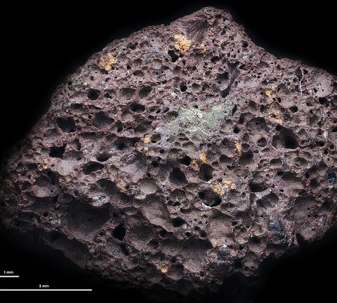
Vesicular Basalt Ah-ah

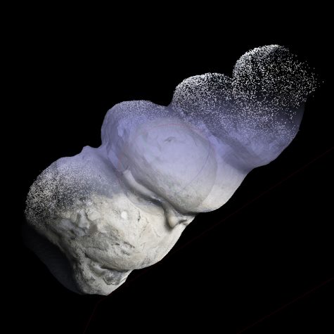 Internal Mold of a Turretellid Gastropod: Fossil2 × $59.00
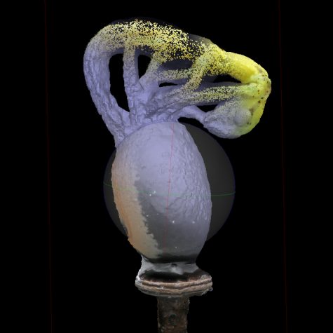 Hatching Stick Insect2 × $59.00
 Corylus americana, Leaf Texture from Fenton River2 × $59.00
 Diffuser for Canon M-PE 65mm 1-5x2 × $49.00
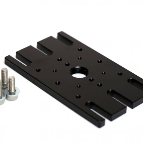 Adapter Plate for Fixing Rotary and Translational Stages1 × $129.00
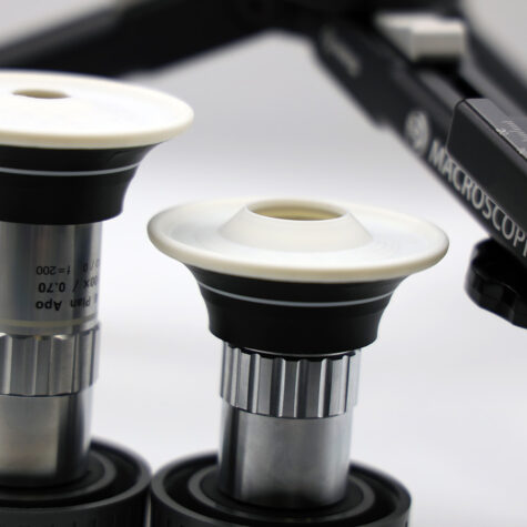 Diffuser for Mitutoyo M Plan APO Objectives1 × $49.00
 Rotary Stage for Manual Micro/Macro 3D Imaging1 × $449.00
Basalt is a common extrusive igneous(volcanic) rock formed from the rapid cooling of basaltic lava exposed at or very near the surface of a planet or moon. Flood basalt describes the formation in a series of lava basalt flows.

Tephra is fragmental material produced by a volcanic eruption regardless of composition, fragment size or emplacement mechanism.[1]
Volcanologists also refer to airborne fragments as pyroclasts. Once clasts have fallen to the ground they remain as tephra unless hot enough to fuse together into pyroclastic rock or tuff.

Rangitoto Island is a volcanic island in the Hauraki Gulf near Auckland, New Zealand. The 5.5 km wide island is an iconic and widely visible landmark of Auckland with its distinctive symmetrical shield volcano cone rising 260 metres (850 ft) high over the Hauraki Gulf.[1][2] Rangitoto is the most recent and the largest (2311 hectares)[3] of the approximately 50 volcanoes of the Auckland volcanic field.[2] It is separated from the mainland of Auckland’s North Shore by the Rangitoto Channel. Since World War II it has been linked by a causeway to the much older, non-volcanic Motutapu Island.[4]

Rangitoto Island is a volcanic island in the Hauraki Gulf near Auckland, New Zealand. The 5.5 km wide island is an iconic and widely visible landmark of Auckland with its distinctive symmetrical shield volcano cone rising 260 metres (850 ft) high over the Hauraki Gulf.[1][2] Rangitoto is the most recent and the largest (2311 hectares)[3] of the approximately 50 volcanoes of the Auckland volcanic field.[2] It is separated from the mainland of Auckland’s North Shore by the Rangitoto Channel. Since World War II it has been linked by a causeway to the much older, non-volcanic Motutapu Island.[4]